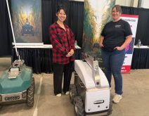

Croptimistic says its SWAT Cam system has now been used across more than one million acres, marking a milestone for the company’s in-season imaging tool.
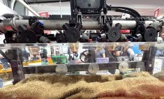
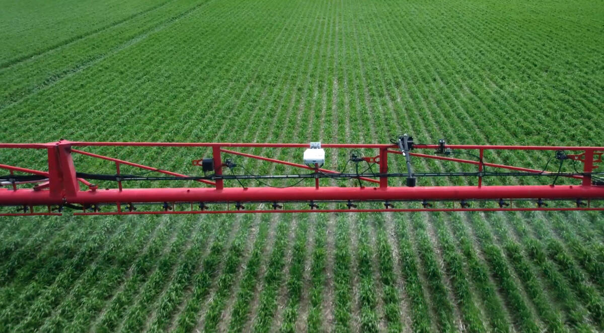
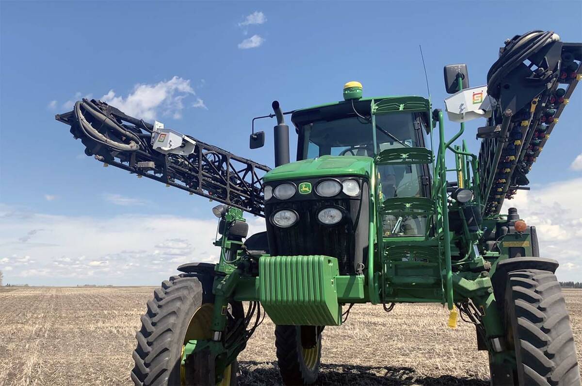
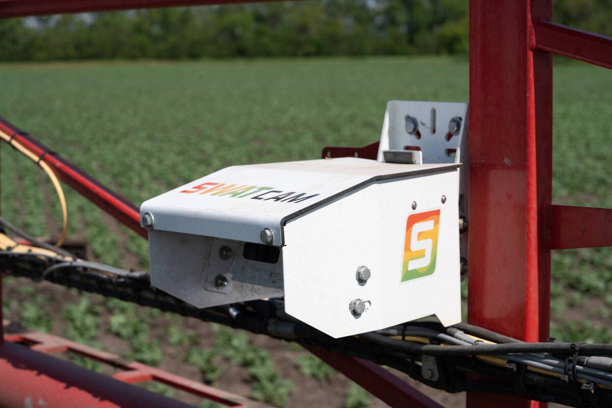
The Saskatoon company’s camera-based system mounts on a sprayer boom and captures field conditions as farmers make passes across the field. Using machine learning, it analyzes thousands of images to generate crop and weed maps, along with plant stand counts.
WHY IT MATTERS: In-season imaging can give farmers a clearer picture of how crops are performing across different parts of the field, helping fine-tune future decisions.
Read Also

Parrish & Heimbecker loads first ship at Picton Terminal
Parrish & Heimbecker’s Picton Terminal sees its first ship set sail for Quebec City loaded with wheat and soybeans.
The system was first introduced in a limited rollout in 2022 and went through on-farm testing before expanding more broadly. Early versions were installed on a small number of farms to gather data and refine the technology.
“We spend a couple of years using the product in the field before it’s commercialized,” CEO Cory Willness said.
“By the time something gets commercialized, it has already been used internally and has been through pretty rigorous testing.”
Adding in-season data to zone maps
SWAT Cam is designed to complement the company’s core SWAT Maps platform, which divides fields into management zones based on soil, water and topography. While those maps are relatively static, SWAT Cam adds a layer of in-season observation.
As the sprayer moves through the field, cameras mounted on the boom capture images every 50 to 60 feet. Those images are processed to measure plant populations and identify weed pressure and are then overlaid onto existing zone maps.
“It’s really a tool that uses the SWAT Map as the base underneath to define what’s happening in different areas of the field,” he said.
The system is not designed to make real-time decisions. Instead, it provides information that farmers and agronomists can use to evaluate performance and adjust management in future seasons.
For example, growers can use the data to compare expected and actual plant stands or identify patterns in crop performance across different parts of a field. In some cases, that can lead to changes in seeding rates or other input decisions.
“It’s information that helps them make better decisions in the future,” he said.
“It’s like a quick check-up tool.”
Adoption to date has been concentrated in Western Canada, where the company operates both directly with farmers and through a partner network.
The technology can be used on crops such as canola, wheat and soybeans, although its effectiveness depends on crop stage and canopy conditions.
The milestone offers a snapshot of how Croptimistic’s platform is expanding beyond its original focus on soil-based mapping.
Building beyond soil maps
In recent months, the company has introduced a series of new initiatives aimed at building out that platform, including SWAT Labs, an in-house soil testing facility, and a white paper outlining its approach to regenerative agriculture.
Together, those efforts point to two sides of the company’s development — expanding its core services while building new tools and frameworks around them.
“We have what I call an innovation engine and a business engine,” Willness said.
SWAT Labs is an example of the “business engine,” reflecting an effort to bring more of the soil data pipeline under one roof, from sampling through analysis.
The white paper, meanwhile, falls under “innovation,” and signals a push to shape how that data is interpreted and used in agronomic decision-making.
“These initiatives are building toward bigger things,” he said.