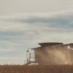
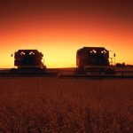
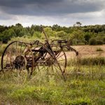
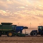
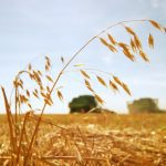
Photo: Vencavolrab/iStock/Getty Images

Prairie forecast: Looking warm and dry for Canada Day

Forecast issued June 25, covering June 25 to July 2, 2025

A broad but unorganized area of low pressure impacts all three Prairie provinces for at least the first half of this forecast period. Unsettled weather means it will be a difficult forecast to pin down. It also means seasonable temperatures with no big intense heat waves expected—though that doesn’t mean we won’t see a few hot days.


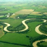
Photo: File

Prairie forecast: Unsettled weather ahead

Forecast issued June 18, covering June 18 to 25, 2025

For this forecast period we start, once again, with no strong systems impacting the Prairies. But, as we head into the weekend a strong area of low pressure is forecasted to develop over the western U.S. This low will impact our region over the weekend, but how and where is a little uncertain.


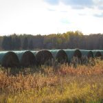
Photo: Lisa Guenther

Prairie forecast: Where did the summer heat go?

Forecast issued June 11, covering June 11 to 18, 2025

Looking at the big picture we start this forecast period with a generally zonal flow across the Prairies as Arctic high pressure slides across the far northern Prairies and weak low pressure moves by to the south. This will bring sunny to partly cloudy skies and near to slightly below-average temperatures.


File photo of storm clouds over northeastern Alberta. (ImagineGolf/E+/Getty Images)

Prairie forecast: Summer pattern making forecast difficult

Forecast issued June 4, covering June 4-11, 2025

We start this forecast period off with an area of low pressure over far northern Manitoba that is slowly moving off into Hudson Bay. To the west, an area of low pressure is developing over the Yukon which is helping to develop a weak ridge of high pressure over Alberta. Over southern Saskatchewan and Manitoba weak high pressure is in place.


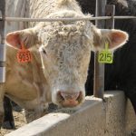
(Photo courtesy Canada Beef Inc.)

Prairie forecast: Mostly warm and dry weather expected

Forecast issued May 28, covering May 28 to June 4, 2025

We start off with high pressure dominating most of the Prairies. A large surface high is sitting over the north-central U.S. This is beginning to tap into more heat and moisture, which will allow for warmer daytime highs and nighttime lows as dewpoints creep up.