The days of single-sample field soil analysis are fading. What’s needed, say soil experts, are analysis tools that provide accurate representations of different management zones.
Speaking at the recent Innovative Farmers Association of Ontario (IFAO) conference, Jonathan Zettler, agronomist and founder of Fieldwalker Agronomy Ltd., said soil testing tools should also be all-encompassing – that is, can be used for all inputs — and capable of indicating what a field could be rather than what it has been historically.
Why it matters: New tools and indicators are broadening the collective understanding of how to analyze soil with greater purpose, and in more cost-effective ways.
Read Also
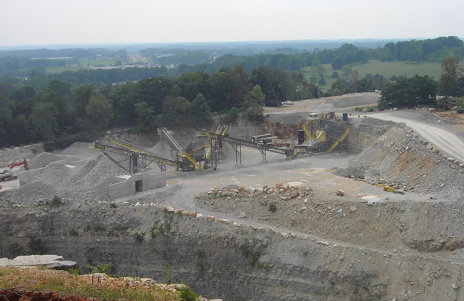
Melancthon faces a new quarry fight over water, environment and farmland risks
A proposed Strada blast quarry in Melancthon, Ont., sparks regional debate over water protection, farmland sustainability, and Ontario’s aggregate policy.
Single samples for 25-acre parcels do not translate into action with modern equipment, says Zettler.
SWAT MAPS — a proprietary high-resolution soil, water, and topographical imaging tool – has become one of Zettler’s favorite systems. It uses what he describes as “common language” to detail field zones, created by first mapping elevation with Lidar (Light Detection and Ranging) and RTK (Real-Time Kinematic positioning).
“It’s ground truthing to make sure that map matches the properties in the field, and then soil sampled based on those management properties to provide context on what those zones are doing,” says Zettler. An action plan is subsequently generated, while a post-seeding assessment highlights the potential of crops — by seed mortality rate, for example — in the different management zones.
Pre- and post-harvest assessments of the crop also indicate what is possible in each zone.
Zettler considers field maps as “part of a greater ecosystem.” They are, he says, soil potential maps based on stable soil properties reflective of spatial variability across a landscape — or, to put it another way, a crop management framework indicating relative responsiveness to soil applied inputs such as fertilizer, amendments, seed, and soil applied herbicides. Conversely, SWAT MAPS are not NDVI zone or yield maps.
“There is normally a relationship to yield, but it’s not necessarily linear. Yield is a product of spatial times temporal variability,” says Zettler.
Incorporating soil health
Assessing a soil’s relative health is a critical element in modern management, according to Sebastien Belliard, soil management specialist with the Ontario Ministry of Agriculture, Food and Rural Affairs (OMAFRA). Doing so means accounting for a variety of observational methods. These include:
- Historical observation (farmer knowledge)
- Extrapolation based on management practices (e.g. tillage rates)
- Risk assessment (e.g. water erosion potential)
- Observational assessment (e.g. soil structure evaluation)
- Quantitative evaluation (e.g. penetration resistance)
- Laboratory analysis
“There’s more to evaluating soil health than testing … There’s more to understand about how to manage a particular soil in its context than what can be picked up by any particular test,” says Belliard. “Relying purely on a lab test, for example, is not going to tell you anything about the risk of erosion and how management is influencing that.”
Fundamentally, Belliard reiterates soil health assessments provide baseline data identifying limiting factors in a given soil. This subsequently affects management priorities.
On a provincial scale, the generation of ever-more data also allows for “made in Ontario” scoring functions, meaning the benchmarking information available to growers more accurately reflects their region and circumstances.
In future, Belliard anticipates soil health analysis could provide better assessments of degradation risk. Additionally, further opportunities will manifest as the cost-effectiveness of measuring soil health, and improved indicators (those measuring the role of soil biology, for example) become available.
Like Zettler, he believes there is opportunity to incorporate other data to determine relative production potential and more targeted monitoring by extension.
“Really the idea is to see where those things don’t match with what a soil should be producing, and target those areas for further diagnostics,” says Belliard.
Cost-effective approach
Though cost-effectiveness might improve over time, getting the best bang-for-buck relies on first establishing needs and objectives. Xiaoyuan Geng, head soil scientist for Agriculture Agri-Food Canada’s Soil Information Services, encourages growers to determine the area of interest, the scale which the analysis will take place, whether resampling will be conducted in subsequent months or years, and the overall budget for sampling.
Doing so, he says, will determine the approach.
“We want to have a cost-effective way to do it. Quite often as a producer you might not have time or resources to do this work. But with new technologies and many open tools, open data, you could get support from your community,” says Geng, adding the prevalence of expertise within organizations such as IFAO, in addition to open-source data, should not be overlooked.
“There shouldn’t be much cost to do this kind of work.”

