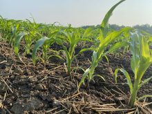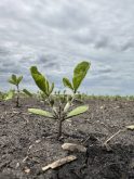


Canadian research is measuring soil moisture content from space.
Agriculture and Agri-Food Canada and the Ministry of the Environment and Climate Change are involved in two projects designed to measure soil moisture levels with orbiting satellites.
Why it matters: Orbit-level analysis of soil moisture can affect farmers’ field level decisions and government policy decisions.
One is an international project providing a macro-view of soils worldwide, the other takes a more farm-level, Canada-specific approach.
Together, the two initiatives are intended to help keep programs and policies in tune to farmer needs.
The Soil Moisture Active Passive (SMAP) satellite project was launched in 2015 by NASA. It uses a radar detection instrument to scan the top five centimetres of the planet’s topsoil layer every two to three days.

The data generated is being used by the United States Department of Agriculture, a supporting partner, to supplement its own forecasting techniques, techniques which traditionally make indirect calculations by comparing regional precipitation and temperature data.
All data is incorporated into maps within Crop Explorer, a program developed by the American agriculture bureau’s Foreign Agriculture Service, to profile regional crop conditions worldwide.
In an article from NASA’s Jet Propulsion Laboratory, John Bolton, research scientist for NASA’s Goodard Space Flight Centre, says SMAP is designed to address the global need for better crop monitoring and forecasting. Variations in global agricultural productivity have tremendous economic, social and humanitarian consequences, says the article, and such data can be used to better monitor and predict these variations.
Read Also
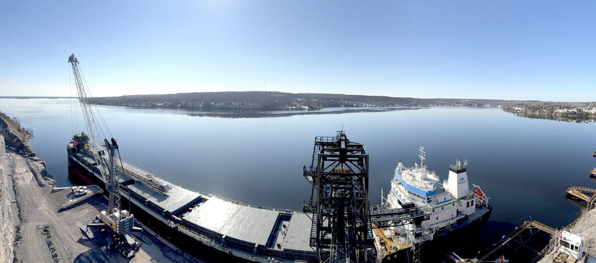
Parrish & Heimbecker loads first ship at Picton Terminal
Parrish & Heimbecker’s Picton Terminal sees its first ship set sail for Quebec City loaded with wheat and soybeans.
Jarrett Powers, director general of Agriculture and Agri-food Canada’s science and technology branch, says the information gathered through SMAP helps government organizations develop policy and programs. The federal environment ministry, for example, is using SMAP data to improve the accuracy of its weather prediction models.
“We can all appreciate the need for improved weather prediction models in an agricultural setting,” he says. “The data can also be useful (for example) in looking at how soil moisture status can impact spring flooding in Manitoba.”
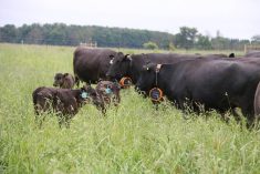
He said it can also affect programs like tax deferrals by developing an awareness of how conditions might affect farmers, such is if a rancher has to sell livestock due to excess moisture or drought.
The latest and historical soil moisture condition data, along with tools to analyze the data, are publicly available through Google Earth as well as the USDA’s Crop Explorer resource.
A Canadian satellite for Canadian farm needs
The issue with NASA’s SMAP program, says Powers, is its macro-level picture. Individual pixels within SMAP-derived maps equate to a 30 x 30 kilometre square, making them irrelevant to farmers looking for information specific to their operation.
However, a Canadian active radar satellite — known as RADARSAT-2 — provides a complementary and more focused soil moisture picture. According to Powers, this is important because it further improves the government’s “situational awareness.”
Launched by the Canadian Space Agency in 2007, RADARSAT-2 is used for many purposes, including maritime surveillance, disaster management (floods, forest, fires) and elevation mapping. It uses the same radar system as the SMAP satellite. Data translates to 30 x 30 metres per pixel, or a fraction of scale found through the SMAP satellite, though it takes 24 days to come around for each pass.

Recently, Agriculture and Agri-Food Canada has been able to access information on soil moisture around three federal observation stations, one in Saskatchewan, Manitoba, and Ontario respectively.
“This definitely gives us a more field-level view, it’s just not as frequent … the exact re-visit time (same satellite swath) is every 24 days,” says Powers.
However, he says the data has real field-level potential.
For example, localized risk assessment maps can be created to help canola producers prevent and prepare for issues with Sclerotinia sclerotiorum, a problematic fungus. Those maps can include areas, varieties and rotation schedules that have the greatest risk of infection. This type of application can be extended to other areas.
Powers says the true impact of low-scale soil moisture data has not yet been realized because of a lack of satellite access.
The RADARSAT-2 satellite has to do many things and because it takes 24 days to make a single pass around the globe, real-time data isn’t available. Powers says his organization tries to get around this by gathering images from different Canadian satellites, but that can be difficult because of the competition for satellite time.
But a new generation of satellites that may provide more opportunities is expected soon, as part of the 2018 RADARSAT Constellation Mission.
“This is a trio of satellites that will orbit in formation and will provide much greater coverage and temporal frequency than the other satellites,” he says.” This will provide the different users, including soil moisture and annual crop mapping, much greater access to the imagery.