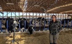
Drone operators continue to find new uses for the data collected by drones measuring what they see on the ground.
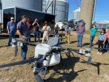
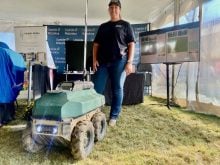
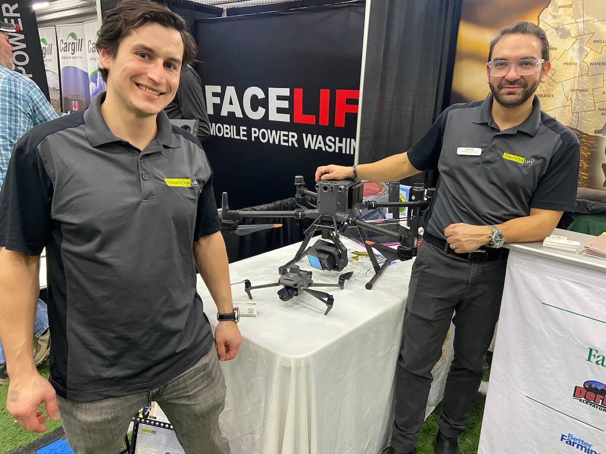
TerraNova UAV demonstrated one of its drones at the London Farm Show and gave examples of pushing the limits of what can be measured with a drone.
Andres Hurtado, co-founder of the Ontario company says that it’s often other people who bring them challenges and they work to solve them.
Read Also
OECD lauds Canada’s low farm subsidies, criticizes supply management
The Organization for Economic Co-operation and Development lauded Canada’s low farm subsidies, criticized supply management in its global survey of farm support programs.
A recent case was when Aaron Breimer of Moose Ag, an agronomy and data consulting company, approached TerraNova with the task of measuring how much silage was in a large feed bunk at Van Osch Farms, a beef feedlot.
Hurtado says that Breimer knew that TerraNova could do LiDAR measurements. LiDAR uses lasers to create many dots of data on a form underneath the drone.
He says they didn’t know if they’d be able to get the data to accurately give them the information they needed about the feed bunk.
However, LiDAR measures the curves and variability on the top of the bunk and then software is used to do all of the calculations based on the dots of data.
The operator gives the software a lowest point and then it estimates the volume from there.
Feed bunk volumes are usually an inexact science, but the drone measurement said that the volume was 17,778.15 m3.
The LiDAR drone is also being used to create accurate 3D maps for tile installation after a fly-over identifies the topography of the area. Those maps can then be fed into GPS guidance systems for the tiling equipment.
Tar spot early detection
TerraNova also worked with the Ontario Soil and Crop Improvement Association on a project that measured plant health in a field of corn, which showed an area of decline. This area of ended up being where tar spot first appeared, showing drones could help create another way to scout for the spreading corn leaf disease in Ontario.
Methane detection
TerraNova UAV is working on how to measure methane emissions so that they can be accurately assessed from places like landfill sites and manure pits. Modelling is currently relied on to estimate those types of emissions.
An underwater LiDAR view
Hurtado is also working to measure underwater topography using LiDAR. The lasers on the drones can measure through water and creating those maps can help people with ponds, rivers and streams to more accurately know what’s under the water.