The Garvey-Glenn watershed can serve as a model for other areas in Ontario where farmers want to reduce erosion by working together.
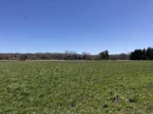
The 4,000-acre watershed slopes gently before it drops into Lake Huron about five kilometres away.
Why it matters: Large-scale drainage projects can be challenging to co-ordinate, but are better if more people are involved.
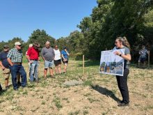
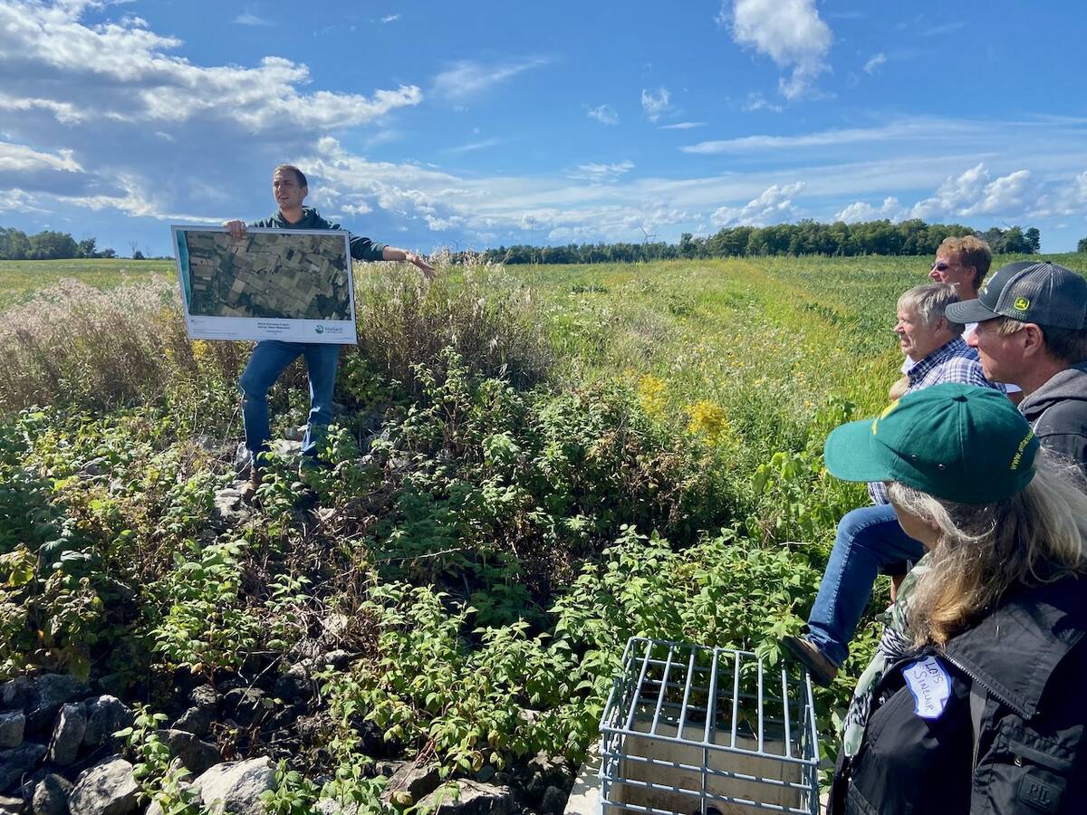
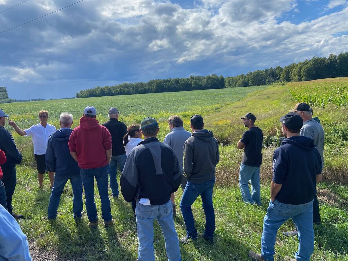
The Ontario Soil Network’s 2025 Huron County tour visited the watershed and learned some of the lessons from the project from Harrison Burgsma, who farms in the area.
Read Also
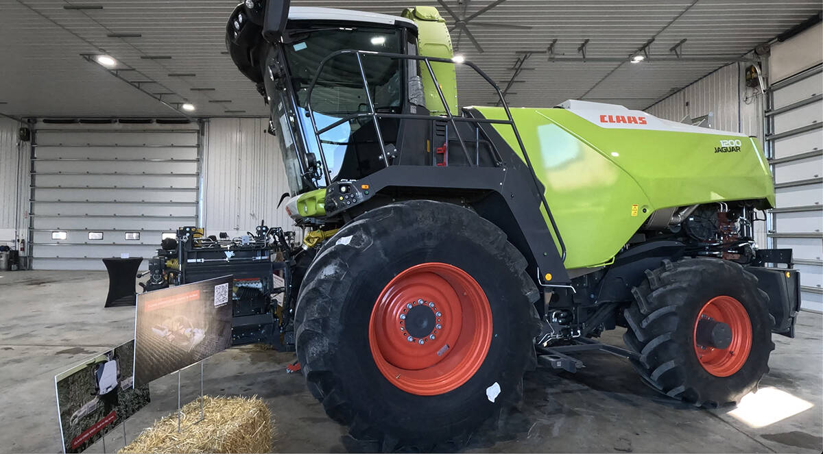
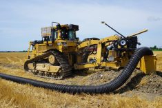
Claas brings 1000 Series SP forage harvesters to Canada
In mid-August, Claas unveiled its new line of Jaguar forage harvesters at an event in Visalia, California, deep in the heart of that state’s dairy region.
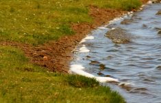
The watershed was sliced by rills and gullies from years of water heading to the lake, taking with it valuable topsoil and nutrients from farms. Water from the area enters the lake through one outlet.
Ben Van Dieten, the agriculture stewardship supervisor with Maitland Conservation, told the farmers on the soil network tour that the conservation authority identified the watershed as an area to concentrate resources.
“There’s a lot of water moving. It’s pretty flat, but there’s a lot of water moving across here,” said Van Dieten. “Even if you were to no-till it, it would still be pumping out gullies and rills. There’s that much water moving.”
There’s also low tree cover in the watershed.
The project started more than a decade ago and since then, 30 erosion control berms have been installed and farmers have adopted new tillage and planting practices.
Despite the berms and drains and attempts to control water, the quality of the water hasn’t improved at the outlet to the lake.
A three-inch rain in late winter or early spring can frustrate all of that planning.
“You’ll start to have an upward trend in water quality and then boom, you have one bad event that does the majority of the nutrient losses for the whole year,” says Van Dieten.
More of the water in the watershed has been moved underground in tiles and drains, instead of sitting on the land and sinking in over time. That meant less erosion and more productive land for farming, but concentrated water flow meant more erosion of the channel at the lake. The lands around the channel were likely supersaturated with phosphorus from the previous 50 years, says Van Dieten, and when the land eroded, it increased phosphorus readings.
Various programs have contributed funds to the watershed project, including the Great Lakes Agricultural Stewardship Initiative (GLASI) and On-Farm Applied Research and Monitoring (ONFARM).
Farmers could qualify for up to 80 per cent of the cost of projects such as putting in buffer strips, modifying equipment for precision nutrient placement, windbreaks and in-field erosion control structures.
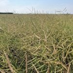
Cover crop planting has also been supported.
Farmers such as Burgsma have seen a change in the productivity of their land.
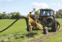
Burgsma made several changes to how he farmed on the land that was farmed by his father and grandfather. He modified a planter for no-till and installed berms and grassed waterways to help control water flow. He says the no-till helps him manage the amount of labour he needs on the farm.
“I do all the planting,” he says.
In August, during the Ontario Soil Network’s tour, he stood at the base of a berm that slows water coming from the east.
The berm directs the water to one place where a catch basin was created with a French drain with about 20 feet of tile coiled next to it to slow the speed of the water entering the catch basin. An eight-inch tile leaves the catch basin and runs off to a nearby woodlot. At that point, if the water is too high, it can escape over the berm and down a grassed waterway.
With 30 berms in the watershed, the water moves more slowly and is better controlled, but it took a co-operative effort.
Burgsma pointed to the east where the direction from which water flows onto his farms and then to the west towards the lake.
“I’m glad folks out there did it. I’ll do it for them down that way.”