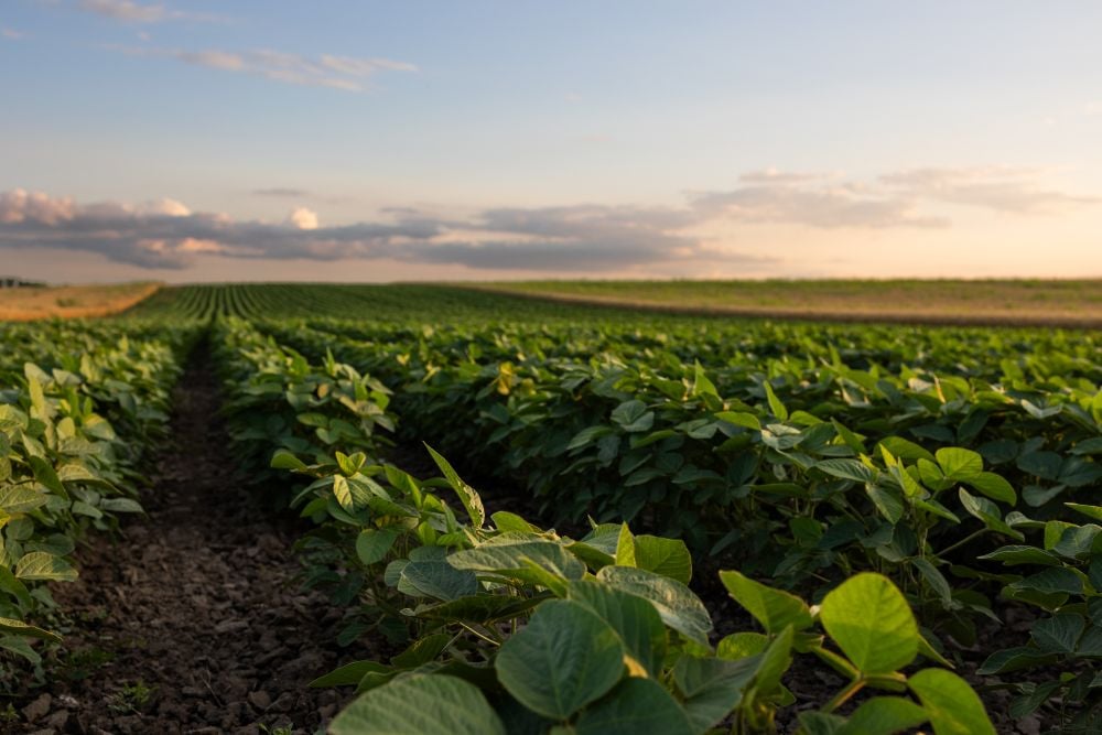
Prairie forecast calls for warm temperatures to give way to cooler, wetter weather week of Oct. 22-29.
Tag Archives weatherfarm news

Prairie forecast: Warm start, then cooler
Prolonged drought causes unprecedented productivity loss: Study
Colorado State University — Extreme, prolonged drought conditions in grasslands and shrublands would greatly limit the long-term health of crucial ecosystems that cover nearly half the planet, says new research […] Read more

Australia’s weather bureau casts doubt on prospects for La Nina
Australia’s weather bureau is not convinced that a La Nina weather pattern is forming that could change rainfall patterns and bring wilder weather to parts of the Americas, Asia and Oceania, affecting crop production.
Prairie forecast: Active pattern continues with mostly-dry west, wet start for east
The active pattern that we saw last week looks to continue into this forecast period which means more chances for rain, possibly some wet snow and a continuation of the temperature rollercoaster ride.

Prairie forecast: A temperature rollercoaster and the possibility of snow
Prairie forecast covering October 8 to 15, 2025. The Prairies may be in for a prolonged battle between warm and cold air before winter sets in. This could bring lots of rain or snow.

Prairie forecast: Transition from warm to cool brings chances for rain
The big question leading into this forecast period is — just how long will the summery temperatures will continue? After all we are now into October.
Prairie forecast: Looks like summer weather
Highlights: We appear to be in a fairly predictable weather pattern as the overall weather picture has been pretty good. We saw upper-level ridging last week bring average to above […] Read more

Prairie forecast: Warm, dry west; warm, unsettled east
Highlights Summary Last week’s forecast did well considering the unusually blocking pattern that developed. An area of low pressure did develop as expected over the west-central U.S. It tried to […] Read more

Prairie forecast: Summer holds on
Once again, the weather models did a good job with the last forecast. It correctly predicted the cool weather pattern over the eastern Prairies, which did bring some light scattered […] Read more

Prairie forecast: Cool east, warm west
Forecast issued September 3, covering Sept. 3 to 10, 2025
We start this period with a large upper low over northern Ontario, an area of Arctic high pressure building southwards over Manitoba and strong but narrow upper ridge of high pressure over B.C. This particular setup is going to bring cool temperatures over the eastern Prairies for the next several days. Western regions will stay on the mild side.

