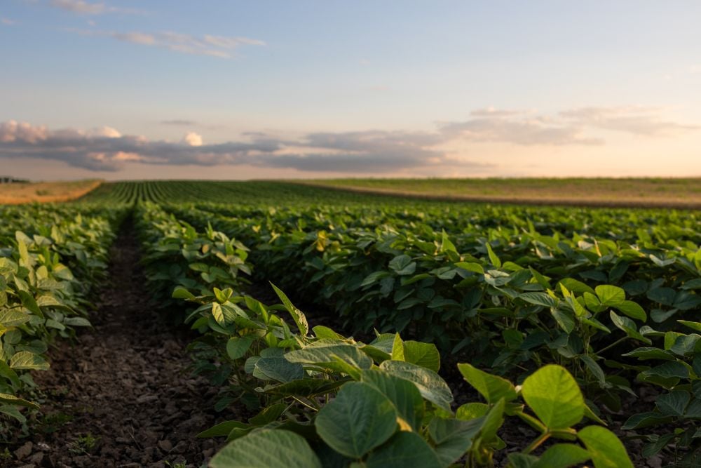
The active pattern that we saw last week looks to continue into this forecast period which means more chances for rain, possibly some wet snow and a continuation of the temperature rollercoaster ride.
Tag Archives precipitation

Prairie forecast: Active pattern continues with mostly-dry west, wet start for east
Prairie forecast: A temperature rollercoaster and the possibility of snow
Prairie forecast covering October 8 to 15, 2025. The Prairies may be in for a prolonged battle between warm and cold air before winter sets in. This could bring lots of rain or snow.

Prairie forecast: Transition from warm to cool brings chances for rain
The big question leading into this forecast period is — just how long will the summery temperatures will continue? After all we are now into October.
Prairie forecast: Looks like summer weather
Highlights: We appear to be in a fairly predictable weather pattern as the overall weather picture has been pretty good. We saw upper-level ridging last week bring average to above […] Read more
Prairie forecast: Warm, dry west; warm, unsettled east
Highlights Summary Last week’s forecast did well considering the unusually blocking pattern that developed. An area of low pressure did develop as expected over the west-central U.S. It tried to […] Read more

Prairie forecast: Summer holds on
Once again, the weather models did a good job with the last forecast. It correctly predicted the cool weather pattern over the eastern Prairies, which did bring some light scattered […] Read more

Alberta Crop Report: Clear weather aids harvest
Clear skies allowed Alberta producers to advance their harvesting operations during the week ended Aug. 26, 2025.

Prairie forecast: Warm and dry for the long weekend
Forecast issued August 27, covering Aug. 27 to Sept. 3, 2025
This forecast period is looking straightforward as surface high pressure and upper-level ridging looks to dominate the forecast. This should bring what looks to be an extended period of sunny skies and warm to hot temperatures.

Prairie forecast: Sunny, warm end to the month
Forecast issued August 20, covering Aug. 20 to 27, 2025
To start this forecast period, we have an area of low pressure developing over Montana. This will help bring one more day of intense heat over southern Saskatchewan and a hot day over Manitoba. That same low will bring partly cloudy skies and the chance of showers to a good portion of Alberta.

Prairie forecast: Unsettled weather to continue
Forecast prepared August 13, covering August 13 to 20, 2025
For this forecast period it looks like the active pattern that developed last week will continue with a couple of lows forecasted to impact parts of the Prairies.

