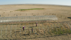
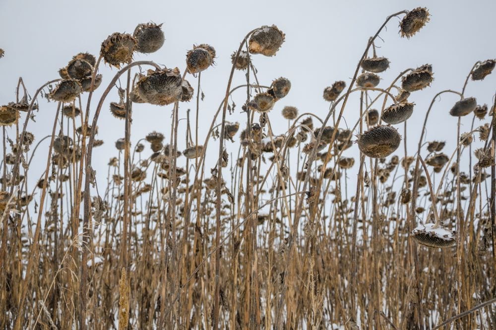
I have been waiting to see if the weather models were going to come into agreement on the upcoming shift on our weather pattern and for the most part, they have: it’s going to get cold! A large area of low pressure has formed over the eastern Arctic and the counterclockwise rotation around that low is helping to push arctic high pressure southward. The big question isn’t whether we will get cold; rather, it’s just how cold it will get, and who will see some snow?
Read Also
Prairie forecast: Warm start, then cooler
Prairie forecast calls for warm temperatures to give way to cooler, wetter weather week of Oct. 22-29.
Alberta will see this push of arctic air first and will see the coldest temperatures. The northern half of the province is already feeling the colder temperatures, with southern regions turning colder by Monday. It does looks like there will be some light snow as the arctic front pushes through, with some areas possibly seeing as much as five cm. By Tuesday the whole province will be in the cold air, with daytime highs struggling to make it to -5 C and overnight lows falling to around -15 C, and possibly colder if any regions get a good covering of snow.
Saskatchewan will see the cold air move in on Monday over northern regions and late Monday into Tuesday in the south. The weather models do show a disturbance moving along the arctic front which will likely bring showers to start, then change over to snow as the colder air works in. Amounts at this point do not look to be significant, but a few centimetres can’t be ruled out. Daytime highs will fall below 0 C by Tuesday over northern sections and Wednesday in the south. Overnight lows will be in the -10 to -15 C range.
Manitoba will be the last to see the cold air, with daytime highs in western regions falling to around the freezing mark by Wednesday, while it will take until Thursday or Friday over the eastern half of the province. Overnight lows will fall into the -8 to -12 C range by late in the week across most regions. The big question is whether there will be snow or not. This is where the weather models aren’t agreeing very well. It does look like there could be some showers moving through on Monday, with a second system bringing the potential for some snow on Wednesday. There could be a third snow-making system later in the week but confidence in that system is low. Confidence is high that this cold weather will stick around right into the start of November, so start getting yourself ready for winter if you haven’t already!
— Daniel Bezte is a teacher by profession with a B.A. (Hon.) in geography, specializing in climatology from the University of Winnipeg. He operates a computerized weather station near Birds Hill Park, Man. Contact him via email with your questions and comments.